This is so fast and powerful, it has suddenly appeared in the one-week forecast (wasn't there yesterday). It is tracking down the usual clipper channel, being shoved by Pacific air.

We have a spot of black in Canada!
Europe is still a chaotic mess of cyclones, but the Arctic is starting to shove back.
And in the BIG NEWS today, nooa has released the global temps.

This is my 'all months' construction, and it shows a huge lump for us. This is bigger than 2016, and 1997 doesn't show at all on this plot. What is wrong? Anyway, they got the wrong El Nino. This spike is caused by the 'Micro El Nino' in the West Pacific, which has plunged south, but is still a big hot blob.
I really wonder how they calculate this chart, but who cares? They get their wish that 2023 is the hottest year on record.
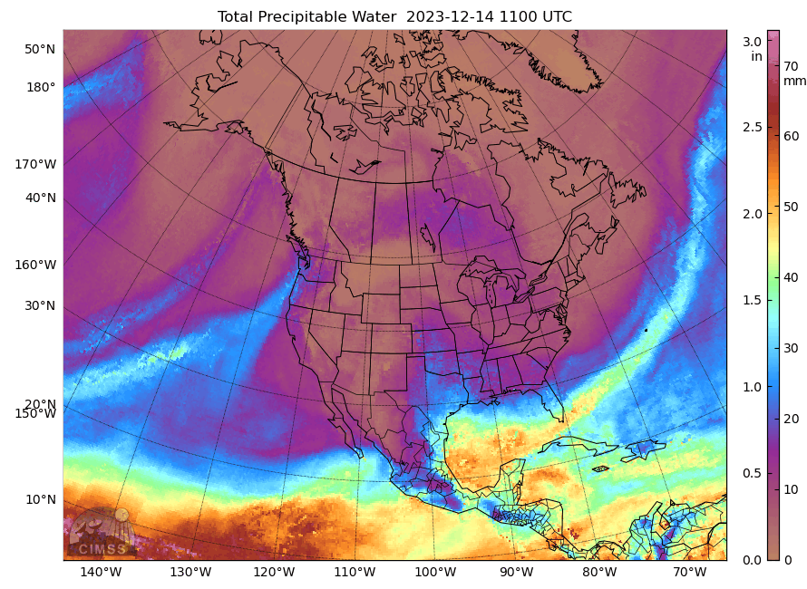
ps. the most fascinating mechanics is tropical South America.

There is still a spill from the Gulf of Mexico over Panama, and the west Pacific air seems to be stuck in an eddy from the mountains. The major feed from the Indian Ocean has stopped, so all this promises very weak plumes to hit UK.
pps. thank goodness, the Arctic has ended it's weird pause and is building up ice again. We are still on track for 'Freezing the Thames'

No comments:
Post a Comment