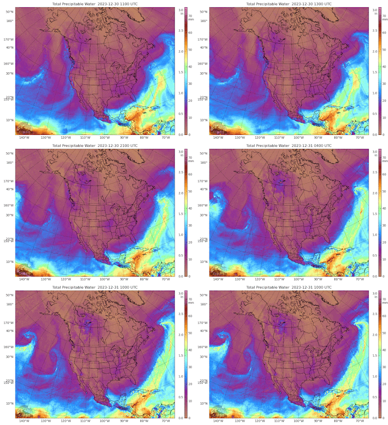
This is very confusing, and none of the charts are correlating.
This is the best chart to show that this blob is exactly like the last time.
But the surface winds are confusing.
It's a very dark, 40 below blob. I conclude at 70% confidence that it will hit Toronto and the US north east. The long-term standard weather forecast is already diving. This will bring up natgas prices, but only after they see the big draw from reserves. You think they could calculate that from physics.
ps. the UK remains exactly the same as weak tropical stringers hit the intense cold. It is one permanent storm, with snow.
It is amazing that the weakest tropical plumes I've ever seen are causing such havoc in the NA west coast and UK. And these cyclones are a new weather phenomenon. I'm waiting for them to run out of energy, but I may have underestimated the amount of heat energy in the West Pacific.


No comments:
Post a Comment