We had a big reversal over the winter, and we still have a huge amount of cold air up North. That stuff just wants to roll over us.

You can see in the East, clear cold air is trying to push away our warmth. At least we won't get the big storm. The Pacific plumes are still not organized into a pattern. If that big plume hits the Yukon then we'll get the cold NW air, like all during May. I hope not.
In general, the ocean currents are still on track for an ice age cycle, major or minor.
You can see with the sea surface temperature anomaly (today's temp subtracting the average) that our major northern currents are cold. There is what they call 'The Blob' of warmer ocean under Alaska, but that water is still very cold.

Increase or decrease over average.
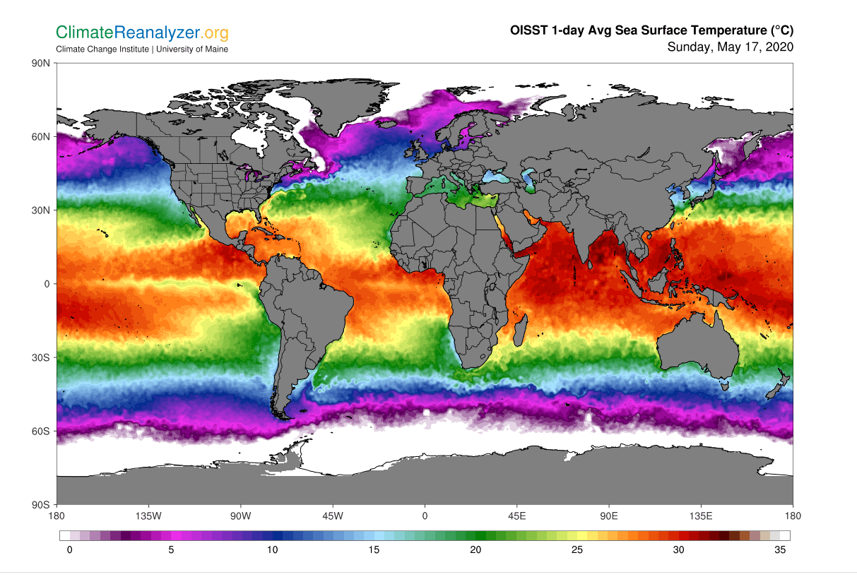
The Gulf Stream warmth has moved down south a lot. The central Pacific belt is cold, and warmth has moved south of the equator. If the ice age progresses, we'll see all the heat energy moving south. Yuck! Just like our recent warming spell, all the action of up and down temperatures is in the Northern Hemisphere.
ps. the temp anomaly map is in warm and cool colours. It's only like 1 or 2 deg C up or down.
1 comment:
The anomaly graphic, I'm having trouble understanding. Is it missing a table of colours or something. Maybe I'm thick(sotrophic).
Thanks.
Post a Comment